Politics & Government
San Marino's Place in Final State Redistricting Maps
The California Citizens Redistricting Commission voted on Friday to approve its final maps for congressional and state legislative offices. There will now be a two-week public review period before the final vote, but there will be no revisions to the maps


A state redistricting commission approved its final maps for congressional and state legislative electoral districts on Friday, making it likely that they will become the voting districts until the next redistricting process in 10 years.
The final meeting of the California Citizens Redistricting Commission will be on August 15, according to the commission's spokesman Rob Wilcox. At that point, the commission will either vote to finalize the maps, or reject them- there will be no further revisions before that deadline, Wilcox said (for more on the commission and its process ).
That means that the maps that have been released (which can be viewed at right or on an interactive map here) will most likely be the next state districts.
Find out what's happening in San Marinowith free, real-time updates from Patch.
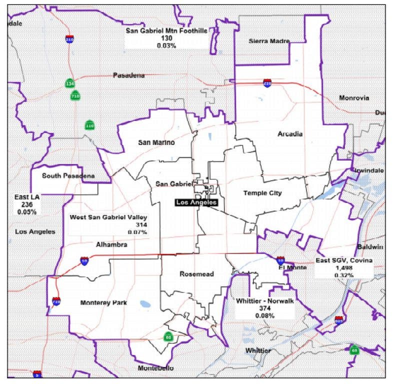
Congressional District
San Marino would now be part of a congressional district that pushes south through Pasadena down to the 60 Freeway, joining Altadena, South Pasadena, Rosemead, Monterey Park, and San Gabriel. It also would have some foothill cities to the east, including Glendora.
Find out what's happening in San Marinowith free, real-time updates from Patch.
There were earlier fears that David Dreier, San Marino's Republican congressional representative, would have encountered when the draft maps were first released on June 10.
Assembly District
The current version of the 49th Assembly District included the cities of San Marino, San Gabriel, El Monte, South El Monte, Rosemead and Monterey Park.
But in the final maps, Assemblyman Mike Eng, D-Monterey Park, will now be representing new additions Arcadia and Temple City along with San Marino, Alhambra, San Gabriel, Rosemead and Monterey Park. The assembly map appear to have lines drawn through El Monte and South El Monte.
State Senate District
In the state Senate district San Marino would join with Pasadena, South Pasadena, Sierra Madre and several eastern cities, but also with La Canada Flintridge, La Crescenta, Burbank, and Glendale.
That would preserve a good portion of the current district which includes Pasadena, South Pasadena, La Canada, Burbank, and Glendale, as well as parts of the San Fernando Valley and Los Angeles.
Carol Liu lives in La Cañada Flintridge and would be eligible to run in San Marino's new district as well.
Get more local news delivered straight to your inbox. Sign up for free Patch newsletters and alerts.


